The private waterfall you can hike to from the Rainforest Inn!
Hikes in El Yunque National Forest
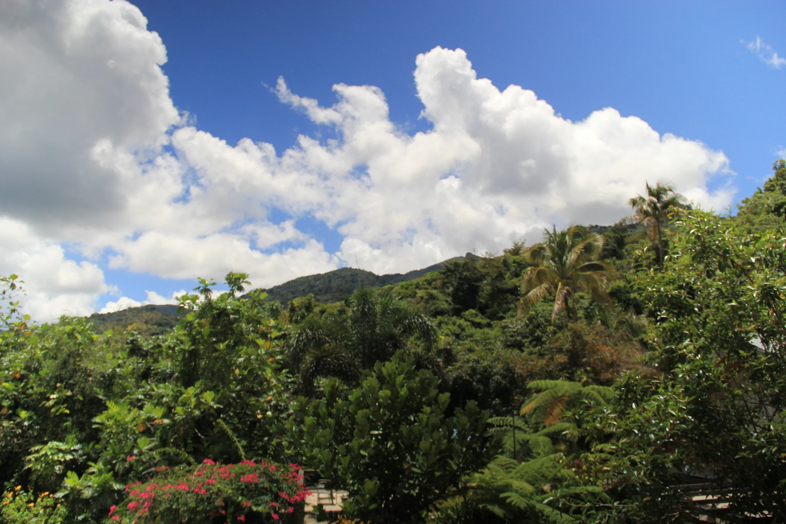
El Yunque Rainforest - hike in the jungle. You have two main choices of hikes, the well-known and safe "Disney Hikes" and the lesser known sometimes challenging ones that are only for the adventurous. We also have a hike right off our property to a romantic pool at the top of a waterfall.
If you’re interested in doing a hike, be sure to read all of the safety protocols on our hiking waiver. For the other hikes in the National Forest, have a look at this website. Underneath you can find the ones we recommend doing!
As a lot of the hikes in the rainforest can be pretty difficult and steep, you’ll definitely need some good equipment. Especially for the difficult hikes you should use a walking stick (you can always use the ones we provide for the Lost Machete Hike), as those can get very muddy! Of course the right shoes and clothes are important too, which we talk about in our blog post!
La Coca Trail
Another walk in the lower montane forest is la Coca Trail, which is a very difficult and challenging trail. It’s important here to stay on the trail, as lots of people already got lost in the forest. It’s a very steep trail with lots of challenging parts and it can get very muddy!
Location: Road 191 km 8.5
Distance: 1.8 miles (2.9 km) one-way
Time: 1.5 hours one-way
Elevation: 250-450 meters
Difficulty: Very Challenging
Angelito Trail
A great trail that isn’t too long, is Angelito Trail. This short trail takes you from Tabonuco trees in the lower mountain forest to the Río Mameyes. This hike brings you to Las Damas Pool and lots of other great swimming spots!
Location: Road 988 km 3.6
Distance: 0.2mi / 0.4km (one way)
Time: 15 min. (one way)
Elevation: 150-110 meters / 492-360 feet
Dificulty: Easy
Mt. Britton Trail & Tower
Another challenging hike is Mt. Britton Trail, which takes you through the Sierra Palm forest. At Forest Service Road 10 you need to turn right and continue along this road for about 500 feet. At the remaining part of the trail, which takes you through the Cloud Forest, you can take a right towards Mount Britton Tower or go straight or to the left to continue onto El Yunque Peak.
Location: : The trailhead is located on a one way loop road, PR 9938, located off the upper (southern) end of PR 191 (near Km. 13).
Distance: 1.3 km
Time: 45 minutes one-way
Elevation: 760-940 meters; Tower is at 3,087 feet
Difficulty: Challenging
El Yunque Trail
One of our favorite trails is definitely El Yunque Peak Trail and can be accessed via Caimitillo or Mt. Britton Trail. This hike takes you all the way up to the foggy Cloud Forest and is very challenging, however it’s a very pretty one and you’ll have an amazing view at the top! Some sources on the internet say it’s still closed, but it’s not.
Location: Road 191 km 12.0
Distance: 2.6 miles (4.2 km)
Time: 1.8 hours one-way
Elevation: 630-1050 meters
Difficulty: Challenging
El Toro Trail
One of the hardest hikes of El Yunque National Forest is El Toro Trail, which takes you to the highest peak in the Luquillo Mountains! As there is little cell phone signal on this hike, you should be well prepared.
Location: Road 186 km 10.8
Distance: 2.3 miles (3.8 km)
Time: 3 hours one-way
Elevation: 2132- 3533 feet (650-1074 meters)
Difficulty: Difficult
Caimitillo Trail
An easier hike is Caimitillo Trail! This hike is ideal if you only want to spend a morning or afternoon in the National Forest. And thanks to the picnic area, you’ll have a great spot to have your lunch. It’s important to stay on the trail, as it crosses the much harder El Yunque Trail.
Location: Road 191 km 12.1
Distance: 0.4 miles (0.6 km)
Time: 20 minutes
Elevation: 2067 to 2427 feet (630-740 m)
Difficulty: Easy


